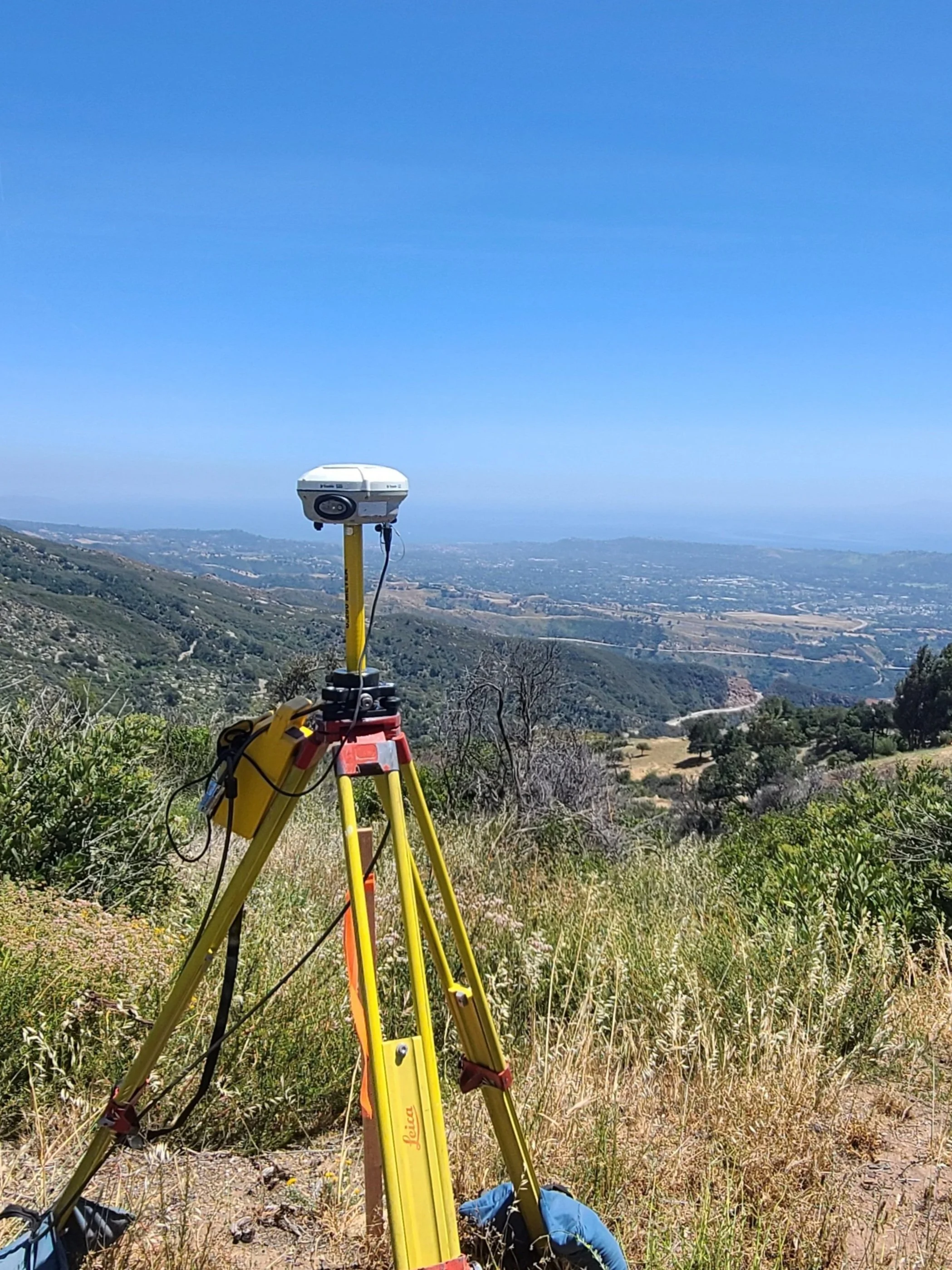
Geodetic Control Network
At Innovative Land Surveying Inc., we specialize in establishing precise geodetic control networks utilizing advanced technologies such as RTK (Real-time Kinematic), RTN (Real-Time Networks), and Static observations. These methods enable us to seamlessly integrate with the local state plane coordinate system, ensuring accuracy and consistency across projects.
As part of our process, we meticulously identify and maintain local city or county benchmarks to meet the specific accuracy requirements of each project. Leveraging state-of-the-art Trimble GPS equipment, we execute our geodetic control network strategies with precision and reliability.
Our approach involves a systematic workflow, beginning with the deployment of control points using Trimble GPS equipment to establish locations. We then utilize cutting-edge Trimble software to seamlessly tie into existing control points or multiple local CORS (Continuously Operated Reference Stations), ensuring a robust geodetic control network for our projects.
By employing these advanced techniques and technologies, we uphold the highest standards of accuracy and reliability in our geodetic control network services. Clients can trust us to deliver dependable and accurate results that form the foundation for successful surveying, mapping, and construction projects.

